




Civil 3D remains a widely used platform for civil engineering design, documentation, corridors, grading, and infrastructure modeling. However, many firms evaluate alternatives because of licensing costs, workflow preferences, regional design standards, collaboration needs, or the desire for lighter tools. The best replacement depends on whether a team prioritizes road design, survey workflows, BIM coordination, site grading, or affordable CAD drafting.
TLDR: The strongest Civil 3D alternatives include Bentley OpenRoads Designer for highways and infrastructure, BricsCAD for DWG-based CAD workflows, Carlson Civil for survey and land development, and Trimble Business Center for survey-to-design data handling. For example, a 10-person engineering office that spends heavily on annual CAD subscriptions may reduce software costs by 20% to 40% by switching some users to BricsCAD or Carlson Civil while keeping advanced modeling seats for specialists. Teams handling large transportation corridors usually benefit from more infrastructure-focused platforms such as OpenRoads Designer.
What Makes a Good Civil 3D Alternative?
A strong Civil 3D alternative should support essential civil engineering tasks without creating unnecessary friction. Most firms need DWG compatibility, terrain modeling, alignment design, profile creation, grading tools, plan production, survey data import, and collaboration with architects, contractors, and public agencies.
The right choice also depends on project type. A land development consultant may need fast parcel layouts, stormwater tools, and surface grading. A transportation agency may require corridor modeling, bridge coordination, and digital delivery standards. A survey firm may prioritize point clouds, field-to-finish workflows, and machine control exports.

1. Bentley OpenRoads Designer
Bentley OpenRoads Designer is one of the most capable alternatives for large-scale infrastructure and transportation projects. It combines roadway design, corridor modeling, drainage, terrain modeling, subsurface utilities, and project visualization in a single environment.
Its greatest strength is its suitability for highways, rail corridors, interchanges, and government infrastructure programs. Many departments of transportation use Bentley products, which makes OpenRoads Designer attractive for firms working on public-sector projects.
- Best for: Highway, road, rail, and large infrastructure design
- Key strengths: Corridor modeling, digital twins, terrain tools, agency workflows
- Potential drawback: Learning curve can be steep for teams coming from AutoCAD-based workflows
2. BricsCAD
BricsCAD is a practical option for firms that rely heavily on DWG files but want an alternative to Autodesk licensing. It provides a familiar CAD interface, strong 2D drafting tools, 3D modeling, BIM features, and compatibility with many AutoCAD-style commands.
While BricsCAD is not a direct civil engineering clone of Civil 3D, it becomes powerful when paired with civil plug-ins or used for drafting, documentation, and coordination. It is especially useful for companies that need to keep DWG-based production moving without assigning every user a full Civil 3D license.
- Best for: DWG drafting, CAD production, cost-conscious teams
- Key strengths: Familiar interface, perpetual licensing options, strong DWG compatibility
- Potential drawback: Advanced civil design functions may require additional applications
3. Carlson Civil
Carlson Civil is a respected choice among surveyors, site designers, and land development professionals. It runs on AutoCAD or IntelliCAD and offers tools for roads, grading, storm drainage, utilities, surfaces, and construction stakeout.
One reason Carlson Civil stands out is its close connection to survey workflows. Firms that handle boundary surveys, topographic mapping, subdivisions, and construction layout often find its tools efficient and practical. It is also valued by teams that prefer software with a more traditional CAD feel.
- Best for: Surveying, land development, site plans, grading
- Key strengths: Field-to-finish tools, surface modeling, road design, flexible licensing
- Potential drawback: Interface may feel less modern than some BIM-centered platforms
4. Civil Site Design
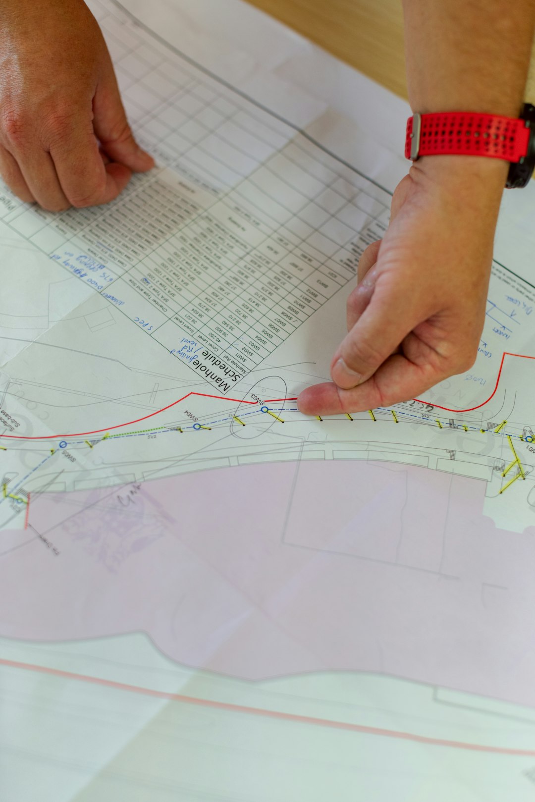
Civil Site Design is designed for engineers who need road, stormwater, sewer, and site design tools within CAD environments. It works with platforms such as AutoCAD, BricsCAD, and Civil 3D, making it flexible for firms that want to extend or partially replace existing workflows.
Its appeal lies in practical design automation. Users can generate alignments, profiles, road models, pipe networks, and earthwork quantities with a workflow that is often considered straightforward. For firms designing subdivisions, local roads, and urban infrastructure, it can be a productive choice.
- Best for: Urban roads, subdivisions, drainage, site infrastructure
- Key strengths: Multi-platform support, road and pipe design, quantity calculations
- Potential drawback: Availability and support may vary by region
5. Trimble Business Center
Trimble Business Center, often called TBC, is not a traditional Civil 3D replacement for all drafting tasks. However, it is one of the best alternatives for survey-heavy workflows, field data processing, point clouds, surfaces, geospatial calculations, and construction data preparation.
Firms using GNSS, total stations, scanning equipment, drones, or machine control systems may find TBC extremely valuable. It helps convert raw field data into usable models, surfaces, and deliverables. For contractors and survey departments, it can reduce the time spent cleaning and converting data before design or construction.
- Best for: Survey processing, construction data, point clouds, machine control
- Key strengths: Trimble hardware integration, surface creation, geospatial accuracy
- Potential drawback: Less suitable as a complete CAD drafting replacement
6. Vectorworks Landmark
Vectorworks Landmark is a strong option for landscape architecture, urban planning, site design, and environmental projects. It combines 2D drafting, 3D modeling, BIM workflows, planting design, terrain modeling, and presentation graphics.
While it is not usually selected for complex highway engineering, it is well suited to projects where civil design overlaps with landscape, planning, and visual communication. Parks, campuses, commercial sites, plazas, and public spaces can benefit from its design-oriented environment.
- Best for: Landscape architecture, urban design, site planning
- Key strengths: Presentation quality, BIM tools, terrain and planting features
- Potential drawback: Not ideal for heavy transportation engineering
7. QGIS with Civil and Geospatial Plugins
QGIS is an open-source GIS platform rather than a CAD application, but it can be a useful part of a Civil 3D alternative workflow. It supports mapping, spatial analysis, terrain data, parcels, utility layers, hydrology, and public GIS datasets.
Engineering teams may use QGIS alongside CAD software to analyze catchments, manage shapefiles, review environmental constraints, or prepare planning maps. Its biggest advantage is cost: the software is free, which makes it attractive for small firms, public agencies, and educational users.
- Best for: GIS analysis, mapping, planning, environmental constraints
- Key strengths: Free, extensible, strong spatial data support
- Potential drawback: Not a full civil CAD design platform by itself
How to Choose the Right Alternative
Selection should begin with project requirements rather than software popularity. A firm focused on state highway work may place OpenRoads Designer at the top of the list. A survey and site design office may prefer Carlson Civil. A company looking to control drafting costs may combine BricsCAD with specialized civil tools.
Decision-makers should compare file compatibility, training time, subscription costs, local support, automation features, and client requirements. Pilot projects are often the safest way to test alternatives. A two-week trial using a real subdivision, road reconstruction, or grading project can reveal more than a feature checklist.
Final Thoughts
The best Civil 3D alternative is not the same for every organization. OpenRoads Designer is highly capable for infrastructure corridors, Carlson Civil is strong for survey and land development, BricsCAD offers cost-effective DWG production, and Trimble Business Center excels in survey and construction data workflows. Many firms may find that a hybrid software stack delivers the best balance of cost, productivity, and technical capability.
FAQ
What is the best overall Civil 3D alternative?
Bentley OpenRoads Designer is often the strongest alternative for major infrastructure and transportation projects, while Carlson Civil and BricsCAD are better suited to smaller firms, survey workflows, and DWG-based production.
Is there a free alternative to Civil 3D?
There is no free tool that fully replaces Civil 3D for advanced civil engineering design. However, QGIS is free and useful for mapping, spatial analysis, terrain review, and planning support.
Can BricsCAD replace Civil 3D?
BricsCAD can replace many DWG drafting and documentation tasks, especially for teams that do not need advanced Civil 3D objects every day. For road corridors, pipe networks, and grading automation, additional civil software may be required.
Which alternative is best for surveyors?
Carlson Civil and Trimble Business Center are among the best options for surveyors. Carlson supports CAD-based survey and design workflows, while TBC is excellent for processing field data, point clouds, and machine control models.
Which software is best for road and highway design?
OpenRoads Designer is one of the leading choices for road and highway design because it supports complex corridors, terrain models, profiles, drainage, and infrastructure coordination.